

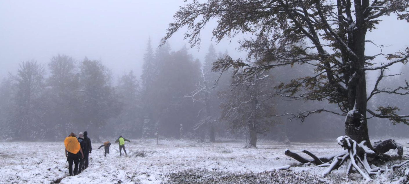
 The 10 day course in the National Park Bavarian Forest experienced quite some weather difference; from minus degrees with snow and ice up to sunny days with 10 degrees and more. However, all days unimportant of the weather conditions were used for remote sensing field data methods such as spectrometer measurements, GPS and map handling or UAV measurements.
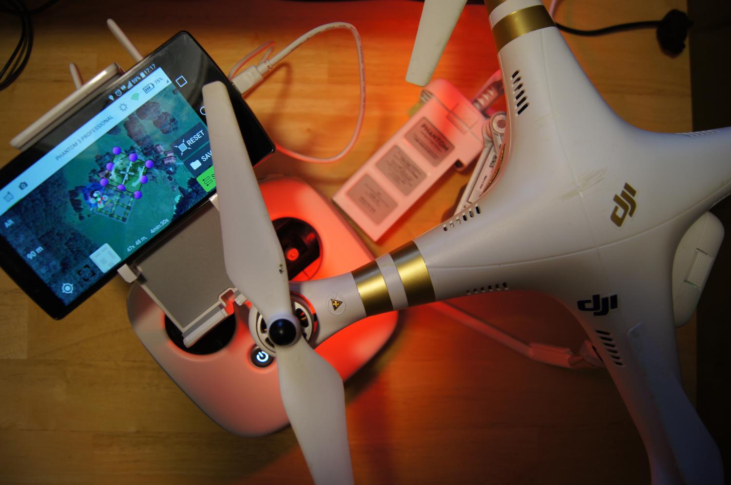
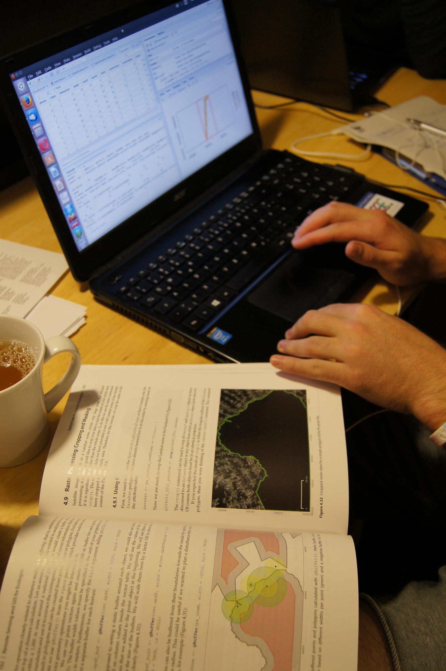
Beside field work all students had to finish their remote sensing projects such as beetle distribution modeling, forest composition or trade-off between class numbers and spatial resolution using different remote sensing data sources (Landsat, hyperspectral or LiDAR). All projects are done using R and QGIS and of course the RStoolbox ṕackage is used extensively.
Hikes through the National Park to map the variety of the landscape are done as well and to understand the unique value of the bark beetles modified landscape and the huge benefits for biodiversity in these areas.


