


From 31st August to 05th September 2019, five colleagues from the Department of Remote Sensing (working group Dr. Michael Thiel) together with their partners from the Physical Geography (working group Prof. Dr. Barbara Sponholz) and Climatology (working group Prof. Dr. Heiko Paeth) at the University of Würzburg travelled to Ouagadougou in Burkina Faso, West Africa. With scientists and experts from the WASCAL Competence Center (CoC) they jointly kick-offed the project WASCAL-DE-Coop .
During the three meeting days at the WASCAL CoC, the scientific dialogue and discussions generally focused on the current project work and on planning future activities and milestones. Numerous presentations covered the whole range of thematic foci and technical topics that build-up WASCAL-DE-Coop. Thus, contributions dealt with
- concepts and approaches on application-oriented remote sensing data analysis and spatial-temporal assessment of the vegetation structure and variability of the agrarian-ecological use of savannah systems in West Africa,
- methods on the model-based analysis of carbon sequestration in vegetation and the variability and dynamics of fire events in savannah ecosystems, and their effects on the fire-induced release of greenhouse gas emissions,
- the sustainable utilization of derived datasets in operational applications by developing and implementing a data cube on the WASCAL high performance computer at the CoC, as well as
- the dissemination of thematic policy briefs and strategy papers regarding human-environmental interactions in context of climate and land use change.
The project kick-off in the capital of Burkina Faso was supplemented by a short field trip to Dano in the Ioba province in the southern country. In close cooperation with the Dreyer Foundation and with local farmers, the WASCAL project builds on the infrastructure at place and operates a multi-sensor observation network. Discussions from the kick-off were continued on site.
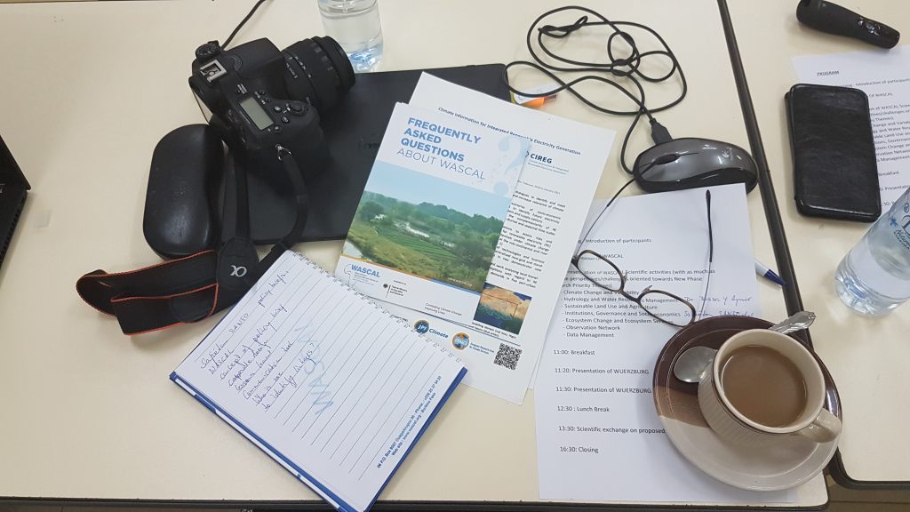
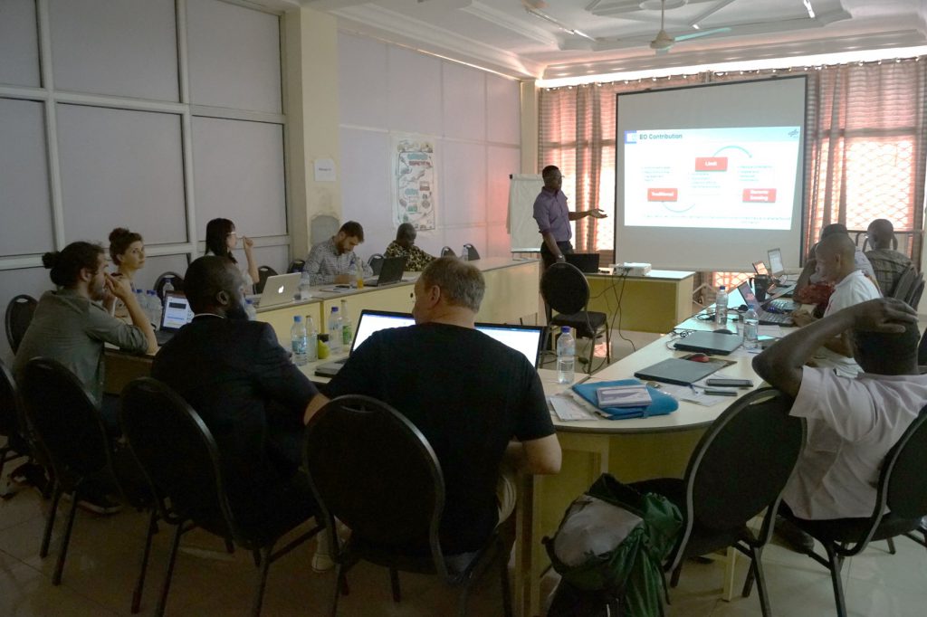
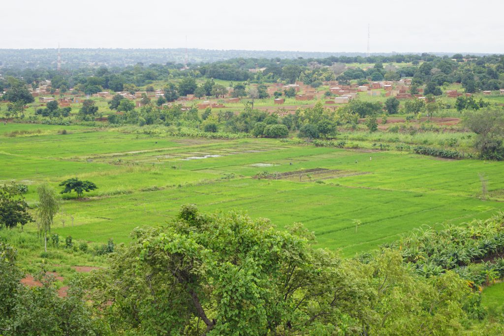
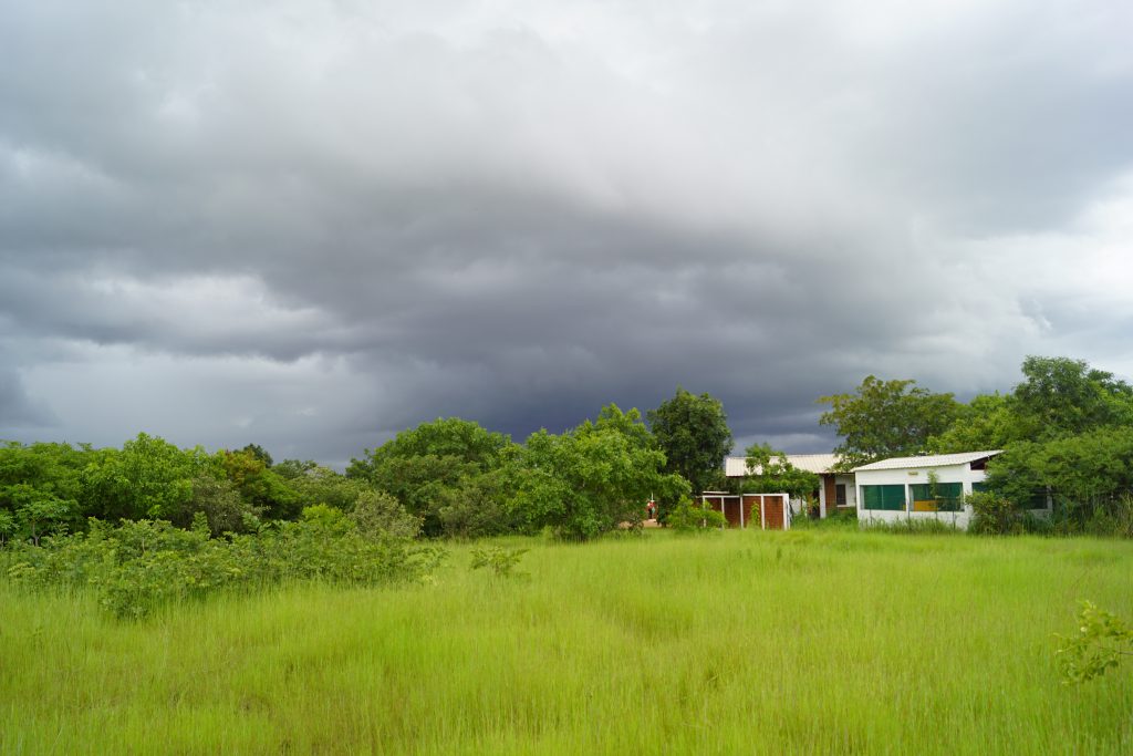
Impressions from the WASCAL-DE-Coop project kick-off and the landscape around Dano in southern Burkina Faso.
The main outcomes of the project kick-off and field trip stress the importance of developing and providing services in WASCAL and frame the roadmap for future activities to support informed policy and decision-making to combat climate change and improve livelihoods in West Africa.
The WASCAL-DE-Coop project is coordinated by the Department of Remote Sensing at the Julius-Maximilians-Universität Würzburg (JMU). Under the grant number 01LG1808A, WASCAL-DE-Coop is funded by the German Federal Ministry of Education and Research (BMBF) through the project carrier at the German Aerospace Center (DLR).


