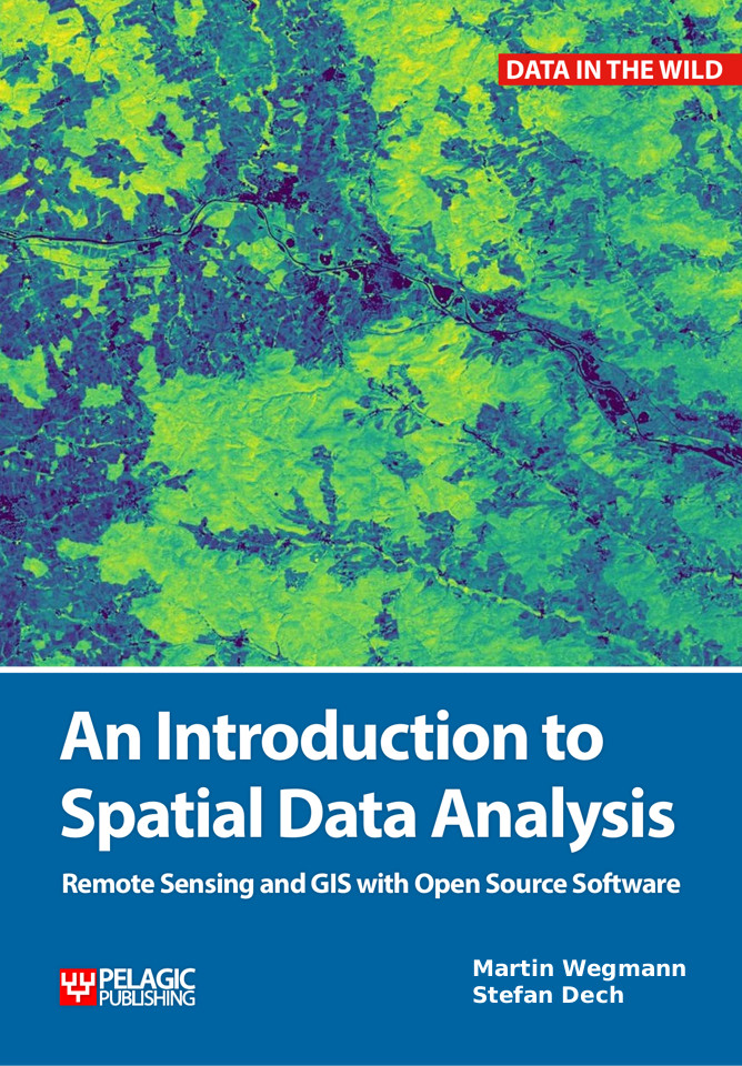
 A new textbook for students or professionals interested in learning to work with spatial data is currently prepared and will be handed in at the end of this year. It clearly aims at novice users in contrast to the already published book “Remote Sensing and GIS for Ecologist“, which is expecting a sound working knowledge in R and spatial data.
This new book will start much earlier and guide new users of spatial data through the whole process of data collection, data preparation and analysis including making maps, working with GPS and the interaction with a GIS. The book will mainly explain all working steps using QGIS but will also introduce R coding to allow a smooth transitions to the intermediate level textbook “Remote Sensing and GIS for Ecologists”.
Updates on the progress of this book and content, as well as (at a later stage) reviews and data to redo the analysis will be provided on this webpage: http://book.ecosens.org