

The Dept. of remote sensing of the University of Würzburg will contribute to the recently-initiated platform of “Data Pool of Bavarian Forest”.
The Bavarian Forest National Park (BFNP) is the first national park in Germany and one of the unique natural landscapes in central Europe. Natural events such as windthrow, insect and fungal attack together with the forest ecosystem natural dynamics continuously change the shape of the forest. These dynamics can be monitored over various temporal durations using field and remotely sensed data. In a recently-started initiative of the Earth Observation Center of German Aerospace Center (EOC-DLR) and the BFNP administration now coordinate the systematic exchange of data and methods in a formal cooperation, in which a number of other European research institutions including Univesity of Würzburg also contribute.
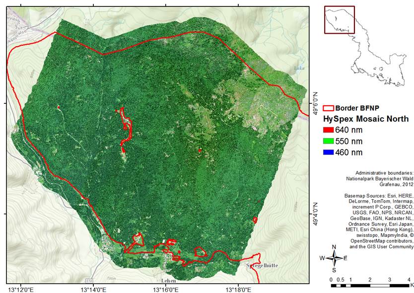
An example of 2012 HySpex mosaic aqcuired by DLR at the northern part of BFNP
Within this formal agreement, the Šumava National Park (Czech Republic), BFNP, EOC-DLR, University of Würzburg, University of Twente (ITC Netherlands), Munich University of Applied Sciences and Technical University of Munich (TUM) have agreed to strengthen their collaboration in exchanging remote sensing data and methods for research purposes within the BFNP. In April 2015, the corresponding cooperation agreement was signed by all the partners. The EOC-DLR will contribute with hyperspectral data from HySpex sensor, TerraSAR-X RADAR data and Spot 5 multispectral data. The BFNP will provide an edvanced access to its comprehensive archive of aerial imagery, GIS layers and field-based data for research purposes within the data pool.
The cooperation offers the opportunity to combine different methodological approaches supported by data in order to optimize remote sensing-based forestry products. The work should also create the basis for further joint research projects. The cooperation runs until the end of the 2016. The pool will be administrated by EOC-DLR ( Dr. Uta Heiden and Stefanie Holzwarth). The contact point in Würzburg will be:
Dr. Hooman Latifi
Email: hooman.latifi@uni-wuerzburg.de
further information to the platform can be found in the original announcement published by EOC-DLR.


