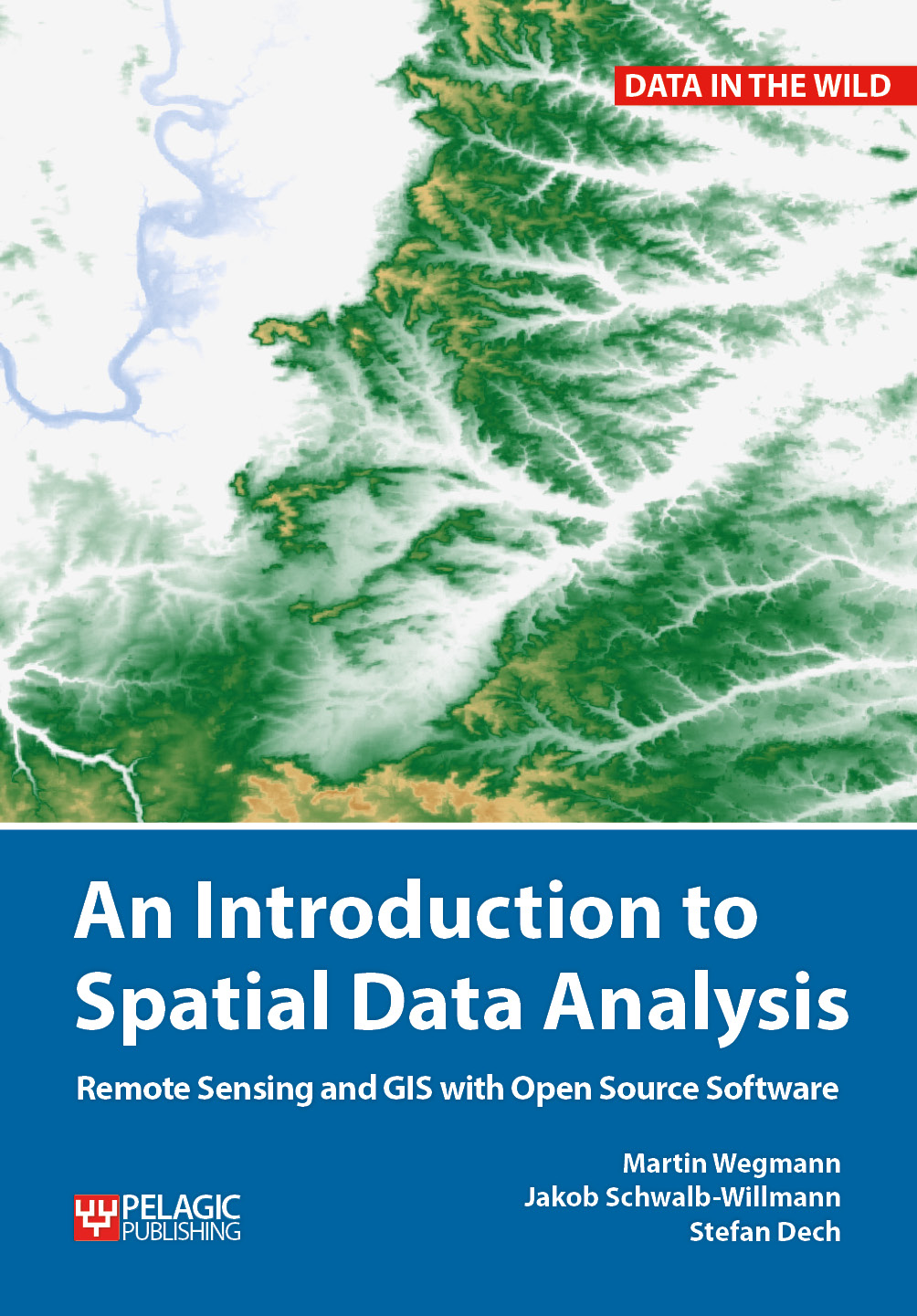
Our already published textbook on “Remote Sensing and GIS for Ecologists – using Open Source software” was very well perceived and we got very positive feedback. However, either an introduction or more advanced methods and data was asked for as well. Hence, we decided to write another book addressing the fundamentals of spatial data analysis using mainly QGIS and with just a little bit of R. And we started the advanced remote sensing book which introduces hyperspectral, radar, LiDAR, UAV and many further methods and approaches using a variety of programs such as R, python or SNAP.
These books are covering parts of our courses within our study programs and are partly written by our own staff members.
for more details please see http://book.ecosens.org


