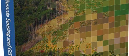
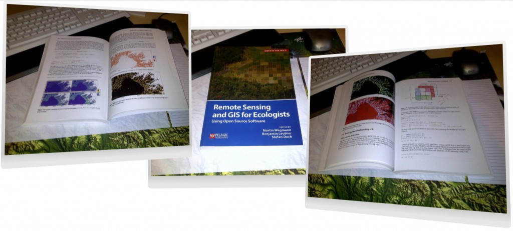
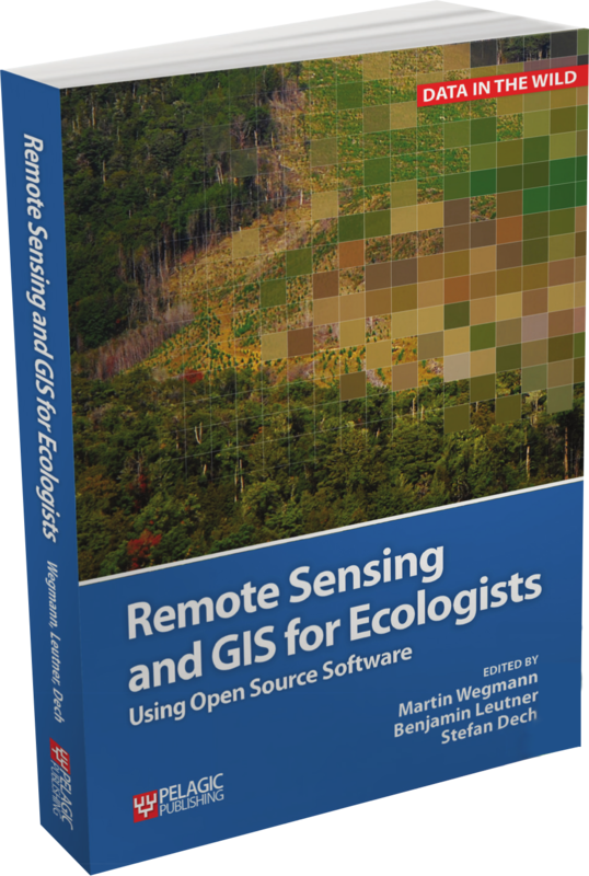
 Our book “Remote Sensing and GIS for Ecologists – Using Open Source software” is now available. First editor copies arrived already and it looks pretty good. Great to have finally a copy on our desks after all the writing, testing and editing! We hope that you enjoy it as much as we do and that it helps you working with remote sensing and GIS in your research topics.
All practical examples in this book rely on OpenSource software and freely available data sets. Quantum GIS (QGIS) is introduced for basic GIS data handling, and in-depth spatial analytics and statistics are conducted with the software package R.
Readers will learn how to apply remote sensing within ecological research projects, how to approach spatial data sampling and how to interpret remote sensing derived products. We discuss a wide range of statistical analyses with regard to satellite data as well as specialised topics such as time-series analysis. Extended scripts on how to create professional looking maps and graphics are also provided.
This book is a valuable resource for students and scientists in the fields of conservation and ecology interested in learning how to get started in applying remote sensing in ecological research and conservation planning.
check the table of content here: http://book.ecosens.org/content/

