This chapter demonstrates the Snappy Python module for the automatization of the ESA SNAP tool.
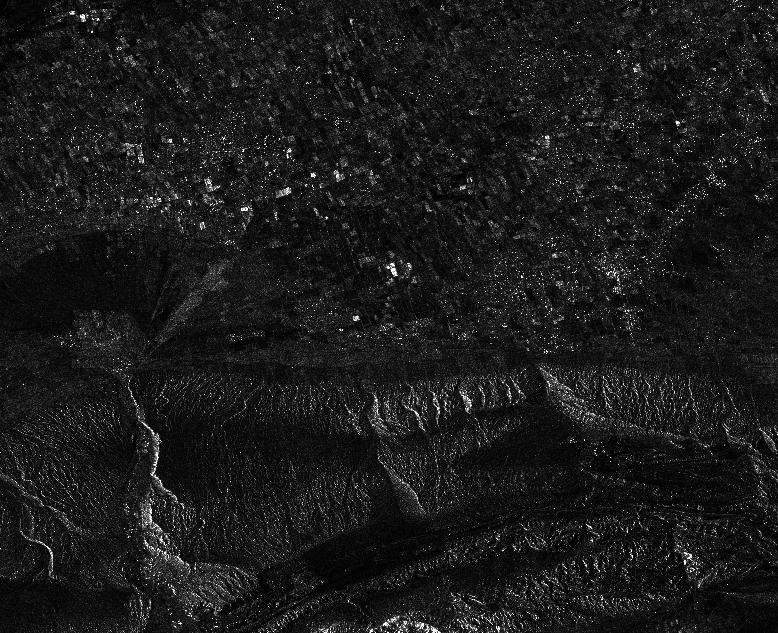
Code examples will be shown for an automated processing chain for the preprocessing of Sentinel-1 SAR data including Calibration, Subsetting and Terrain Correction of GRD (Ground Range Detected data).
A detailed installation tutorial for snappy can be found here: https://senbox.atlassian.net/wiki/display/SNAP/How+to+use+the+SNAP+API+from+Python
First, import the needed Python modules:
import snappy

from snappy import ProductIO
from snappy import HashMap

import os, gc
from snappy import GPF

GPF.getDefaultInstance().getOperatorSpiRegistry().loadOperatorSpis()
HashMap = snappy.jpy.get_type('java.util.HashMap')
Now loop through all Sentinel-1 data sub folders that are located within a super folder (of course, make sure, that the data is already unzipped):
path = "D:\\SENTINEL\\"
 for folder in os.listdir(path):

   gc.enable()

   output = path + folder + "\\"
   timestamp = folder.split("_")[4]
   date = timestamp[:8]
Then, read in the Sentinel-1 data product:
   sentinel_1 = ProductIO.readProduct(output + "\\manifest.safe")
   print sentinel_1
If polarization bands are available, spolit up your code to process VH and VV intensity data separately. The first step is the calibration procedure by transforming the DN values to Sigma Naught respectively. You can specify the parameters to output the Image in Decibels as well.
   pols = ['VH','VV']
   for p in pols:
      polarization = p

      ### CALIBRATION

      parameters = HashMap()
      parameters.put('outputSigmaBand', True)
      parameters.put('sourceBands', 'Intensity_' + polarization)
      parameters.put('selectedPolarisations', polarization)
      parameters.put('outputImageScaleInDb', False)

      calib = output + date + "_calibrate_" + polarization
      target_0 = GPF.createProduct("Calibration", parameters, sentinel_1)
      ProductIO.writeProduct(target_0, calib, 'BEAM-DIMAP')
Next, specify a subset AOI to reduce the data amount and processing time. The AOI specified by its outer polygon corners and is formatted through a Well Known Text (WKT).
      ### SUBSET

      calibration = ProductIO.readProduct(calib + ".dim")
      WKTReader = snappy.jpy.get_type('com.vividsolutions.jts.io.WKTReader')

      wkt = "POLYGON((12.76221 53.70951, 12.72085 54.07433, 13.58674 54.07981,
                      13.59605 53.70875, 12.76221 53.70951))"

      geom = WKTReader().read(wkt)

      parameters = HashMap()
      parameters.put('geoRegion', geom)
      parameters.put('outputImageScaleInDb', False)

      subset = output + date + "_subset_" + polarization
      target_1 = GPF.createProduct("Subset", parameters, calibration)
      ProductIO.writeProduct(target_1, subset, 'BEAM-DIMAP')
Apply a Range Doppler Terrain Correction to correct for layover and foreshortening effects, by using the SRTM 3 arcsecond product (90m) that is downloaded automatically. You could also specify an own DEM product with a higher spatial resolution from a local path:
      ### TERRAIN CORRECTION

      parameters = HashMap()
      parameters.put('demResamplingMethod', 'NEAREST_NEIGHBOUR')
      parameters.put('imgResamplingMethod', 'NEAREST_NEIGHBOUR')
      parameters.put('demName', 'SRTM 3Sec')
      parameters.put('pixelSpacingInMeter', 10.0)
      parameters.put('sourceBands', 'Sigma0_' + polarization)

      terrain = output + date + "_corrected_" + polarization
      target_2 = GPF.createProduct("Terrain-Correction", parameters, subset)
      ProductIO.writeProduct(target_2, terrain, 'GeoTIFF')