PhD defense by Benewinde Jean-Bosco Zoungrana

PhD defense by Benewinde Jean-Bosco Zoungrana

April 22, 2016

Photo_1
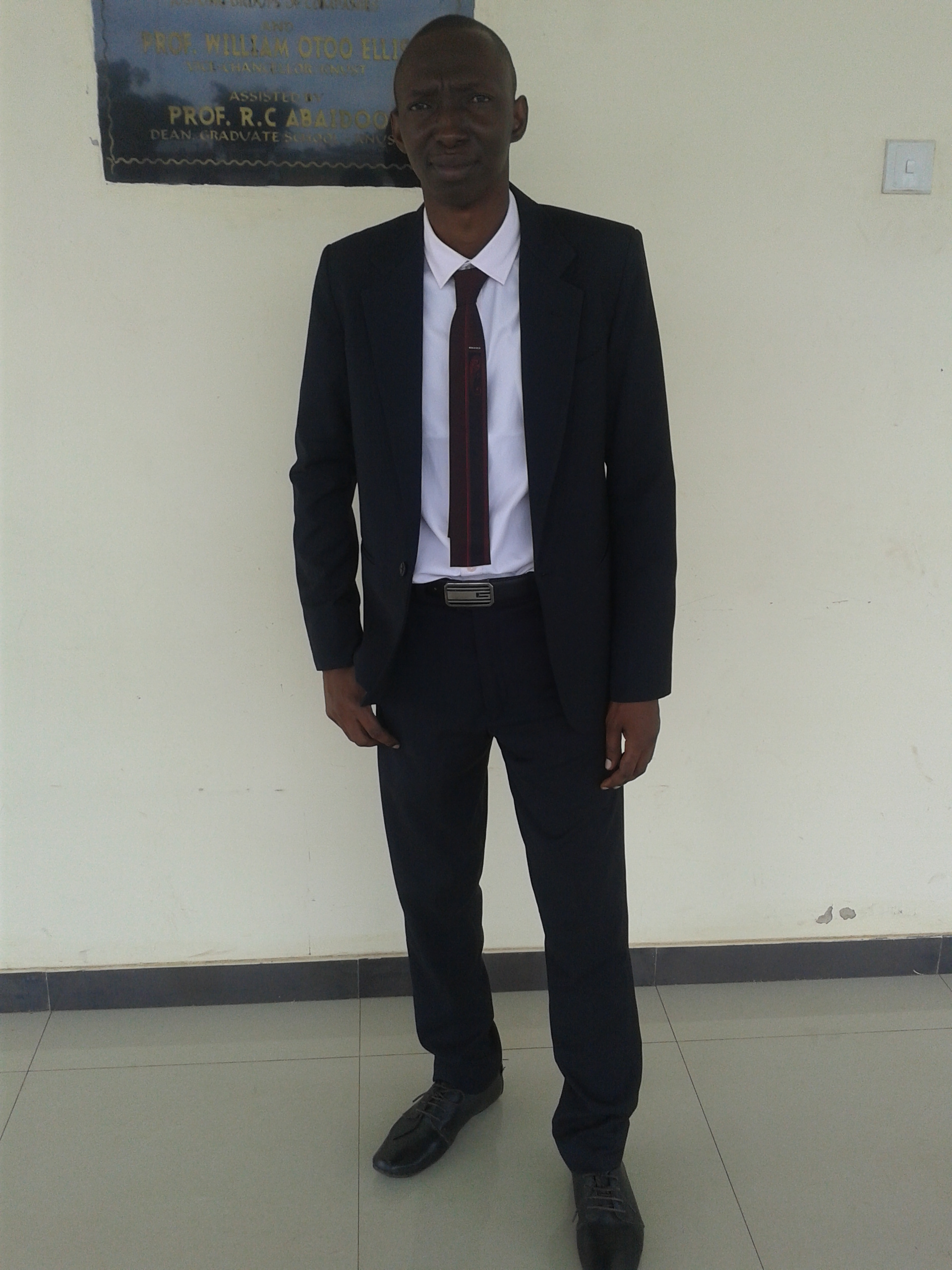
On April 19 2016 Benewinde Jean-Bosco Zoungrana successfully defended his PhD  “Vegetation cover response under rainfall variability and land use/cover change  in the southwest of Burkina Faso” dealing with remote sensing for land cover and vegetation mapping in West Africa at the Kwame Nkrumah University of Science and Technology (KNUST), Kumasi, Ghana– congratulations! Jean-Bosco is a member of the graduate school “Land use and climate change in West Africa” at KNUST. He visited our department during his Phd two times, altogether he stayed for 6 months. Dr. Michael Thiel was his mentor in Germany.

Dr. Zoungrana conducted an excellent research, out of which he already published two scientific papers. The third manuscript is almost ready for submission.

follow us and share it on:

you may also like:

Starkregen in Bayern: Beobachtungen und Dokumentation zählen

Starkregen in Bayern: Beobachtungen und Dokumentation zählen

Starkregenereignisse treten immer häufiger lokal, kurzfristig und mit hoher Intensität auf. Innerhalb weniger Stunden können sie erhebliche Überschwemmungen und Schäden verursachen. Um solche Ereignisse künftig besser zu verstehen und die wissenschaftliche Grundlage...

Seeing the World in Points: Lidar Course for the EAGLEs

Seeing the World in Points: Lidar Course for the EAGLEs

Lidar has a funny way of sneaking up on you. You think you know what it is, a laser that measures distance, fine, but then someone shows you a point cloud of a forest canopy with individual branches floating in 3D space and suddenly you realize there's a whole...

RTL covers EORC: TV Crew Films MONID Habitrack Fieldwork

RTL covers EORC: TV Crew Films MONID Habitrack Fieldwork

A bit of extra excitement at EORC recently, an RTL television crew showed up to film a segment on the MONID Habitrack project, and Dr. Ariane Droin was right in the middle of it, walking them through what Earth Observation actually brings to the table for a project...

Ticks from Above: UAS Fieldwork for the MONID Habitrack Project

Ticks from Above: UAS Fieldwork for the MONID Habitrack Project

Forest edges are tricky places. They're where woodland meets open ground, where light and shade trade off every few meters, and where, it turns out, ticks tend to do really well. That last bit is exactly why Dr. Ariane Droin, Sofica Garcia de Leon, Dr. Jakob...

Course on urban EO by Michael Wurm

Course on urban EO by Michael Wurm

Walk through any city and you pick up on things that are hard to put a number on. The noise of a main road, the heat that sits between buildings in summer, the question of whether that little park around the corner is really enough green space for the whole...

EireR R package: unified gateway to Irish geospatial data

EireR R package: unified gateway to Irish geospatial data

Anyone who's tried to do geospatial work across the whole island of Ireland knows the headache. Ireland is one island geographically, but it's split across two jurisdictions, the Republic and Northern Ireland, and each one runs its own data infrastructure. Different...

Share This