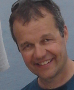
Dr. Maik Netzband has started his employment in the Department of Remote Sensing at the Institute of Geography and Geology (University of Würzburg) at begin of January 2018. Within the Regional Research Network „Water in Central Asia“ (CAWa project),  subproject WP3, he coordinates the scientific work on the webGIS tool WUEMoCA (Water Use Efficiency Monitor in Central Asia) at the Department of Remote Sensing and its contributing partners greenspin GmbH (Würzburg) and SIC ICWC (Tashkent, Uzbekistan). Further focus of his activities lies on the development of the validation framework, the workflow and execution for evaluating the classification results in WUEMoCA derived from satellite imagery.
Before joining the department, Dr. Netzband worked as senior scientist and lecturer at the Department of Geography at the Ruhr-University Bochum. From his involvement in numerous national and international projects, he has advanced knowledge of remote sensing techniques in the context of urban ecology and urban planning. In particular, problems associated with urban land use, climate, soil imperviousness and land consumption, green areas, and open spaces have caught his attention. Additionally, Dr. Netzband has been responsible for establishing a new international research team at the Department of Geoinformatics at the Faculty of Science at Palacký University Olomouc (Czech Republic), both in the theory and application of urban monitoring and modelling by means of geoinformation data and methods as a contribution for a more sustainable urban development.


