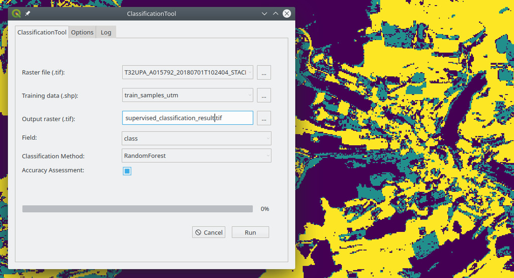

A new QGIS plugin for running supervised classifications using e.g. RandomForest or SVC is currently developed by our colleague Steven Hill. More details and the official release through the QGIS plugin system will follow soon.

River and Rock Glacier Monitoring: EORC at the German Geomorphology Meeting
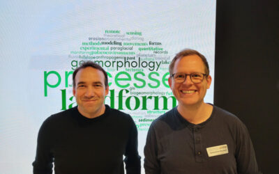
Sebastian Buchelt and Florian Betz from the Earth Observation Research Cluster (EORC) at the University of Würzburg presented their latest research at the annual meeting of the German Society for Geomorphology (DGGM). Both contributions highlighted the growing...