

![]() In January 2015, a new project on Assessing Land Value Changes and Developing a Discussion-Support-Tool for Improved Land Use Planning in the Irrigated Lowlands of Central Asia (LaVaCCA), funded by the Volkswagen Foundation was started by the Central Asia research group at the Department of Remote Sensing in Würzburg.
In January 2015, a new project on Assessing Land Value Changes and Developing a Discussion-Support-Tool for Improved Land Use Planning in the Irrigated Lowlands of Central Asia (LaVaCCA), funded by the Volkswagen Foundation was started by the Central Asia research group at the Department of Remote Sensing in Würzburg.
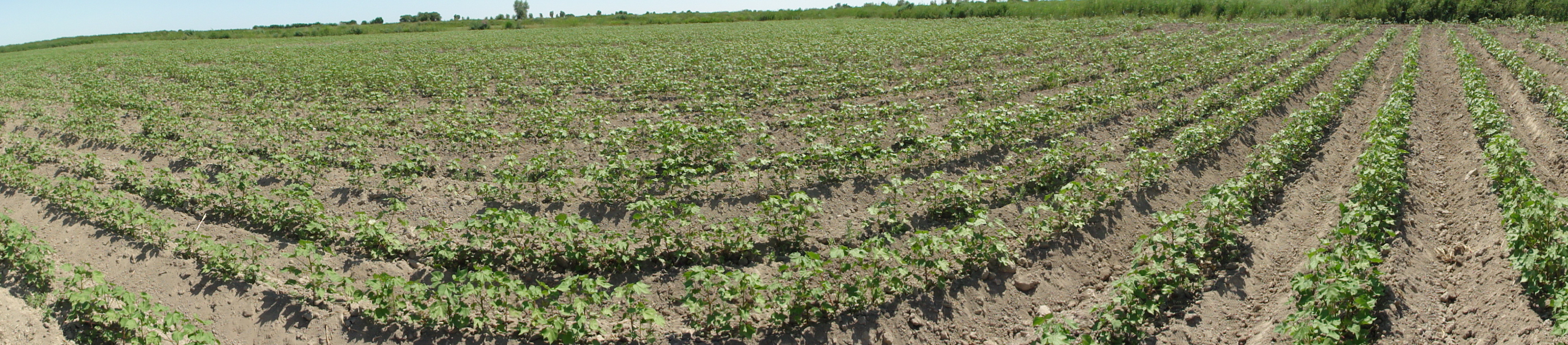
Summary: Immense losses of land productivity have been observed on eight million hectares of irrigated agricultural land in Central Asia (CA) during the past decades. Especially the irrigated lowlands of the Amu Darya and Syr Darya Rivers are affected by land degradation (LD) problems. Despite first attempts to derive different types of land production related indicators, it remains uncertain, to which factors a change or trend of land production can be assigned. One major shortcoming is the generally lack of spatially explicit data, especially after the breakdown of the Soviet Union. This situation hampers the assessment of land value, i.e. an economic assessment of land use options and, as a consequence, decision makers and planers in spatially targeting and implementing rehabilitation measures.
The proposed research addresses the identification of hotspots of decreasing land production and gaining knowledge about the drivers of change in land production and LD by analysing socio-economic and ecological indicators. Economic assessments of land use options under given ecological conditions will be elaborated. A strong methodological focus is set on remote sensing, geographical information systems (GIS), indicator systems, land use modelling, and economic optimization. The generated information will be bundled and presented as a tool of discussion support for politicians and decision makers in their efforts to increase food security and combat environmental degradation in the irrigated areas of CA.
 The research consortium consists of partners from the Universities of Würzburg and the Center for
Development Research (ZEF) in Germany, the Urgench State University (UrDU), the NGO KRASS, and the Scientific Information Center of the Interstate Commission on Water Coordination in Central Asia (SIC ICWC) in Uzbekistan, as well as the Al´ Farabi Kazakh National University in Almaty. The proposal is in compliance with the objective of the Volkswagen‐Foundation funding initiative, and funded from 2015-2017. The inclusion of PostDocs and PhD students is expected to enhance cooperation and partnerships among local partners of Uzbekistan and Kazakhstan.
For further information on this project, or interest in BSc or MSc thesis in the context of the LaVaCCA project, please contact Dr. Fabian Löw.


