


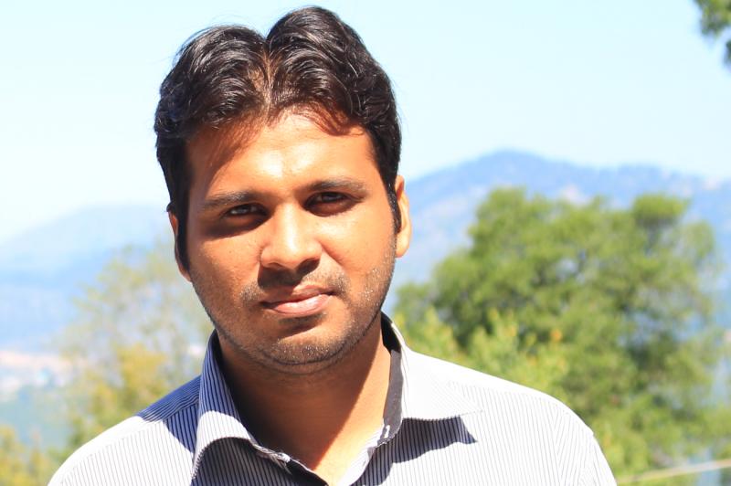
 We welcome Talha Mahmood as new PhD student in our department. He completed his Bachelors and Masters in Agricultural Engineering from University of Agriculture, Faisalabad, Pakistan. During his master studies he worked on Remote sensing and GIS modelling for water resources management. Before coming to Germany for Ph.D studies he was working as Scientific officer in Pakistan Agricultural Research Council. His Ph.D studies are being funded by Higher Education Commission, Pakistan in collaboration with DAAD. At the Deptartment of Remote Sensing, his tentative Ph.D project is “ Sustainability of Eco-Systems in Changing Climate and Land Use in Irrigated Area of Indus Basin”. With his PhD project, he aims to provide better understanding of climate and land use change and to come up with best land use options in changing climate. He is supervised by Dr. Christopher Conrad

Earth Observation Meets Agricultural Practice: The Final Excursion of the EAGLE Block Course
The EAGLE block course "Linking Science and Practice in Earth Observation for Climate Adaptation" concluded with a visit to the Bavarian State Office for Agriculture (LfL) and its Research Center for Agriculture in Dry Regions in Schwarzenau. Following earlier visits...


