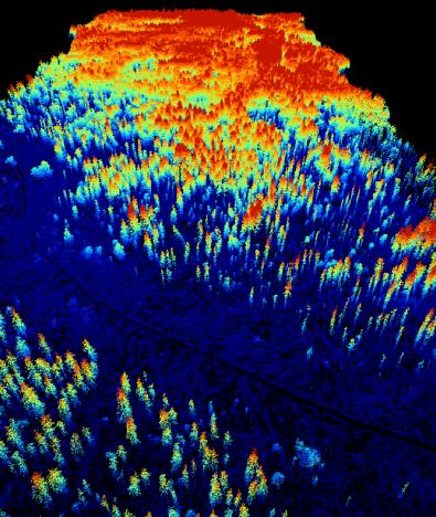
 A new MSc. student started her thesis “Suitability of Light detection and ranging (LiDAR) data and texture measures of aerial images to model the species distribution of Glaucidium passerinum (Pygmy Owl) in Vercors, French Alps”. Wanda Graf is using LiDAR data to describe the three dimensional habitat structure of Glaucidium passerinum at different scales. Moreover texture measures of aerial images will be used to describe the habitat structure of Glaucidium passerinum at different scales. It is assumed that LiDAR data are more suitable to model the distribution of Glaucidium passerinum than texture measures of aerial images. The thesis is supervised by Dr. Björn Reineking and Dr. Martin Wegmann

EORC and EAGLE summer BBQ
We’re happy to announce that our summer BBQ is happening again on Thursday, July 24th at 4pm! Alongside good food and a relaxed atmosphere, we’re also hosting a series of short talks highlighting exciting topics in Earth Observation and environmental science: “The...