new B.Sc. thesis: UAV-based cemetery map

new B.Sc. thesis: UAV-based cemetery map

June 20, 2018

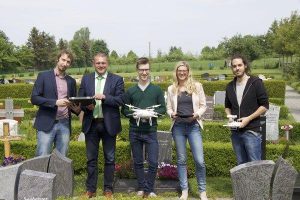
from left to right: Hendrik Flock, Thomas Eberth, Florian Baumgartner, Carina Kübert and Steven Hill, source: MainPost

Florian Baumgartner started his B.Sc. thesis titled “Object-oriented derivation of a digital cemetery plan from very high resolution aerial imagery – a case study for the municipality of Kürnach”. The aim of his thesis is to derive a high-resolution UAV-based graveyard map that can be used by the municipality for further planning within the cemetery administration.

Florian has already planned and performed an overflight with our Phantom 4 drone that took place in April this year. Watched by the mayor of Kürnach (Thomas Eberth), a representative of the AKDB (public agency developing IT solutions for municipal authorities, Hendrik Flock) our UAV expert (Steven Hill) and me (mentoring the thesis), the drone was flying at a height of 30m for 15 minutes and took more than 200 images.


The images will be used to derive a georeferenced orthophoto as well as a three-dimensional Digital Surface Model.
Florian will apply object-oriented segmentation and classification methods in order to develop a digital cemetery map. His thesis can be seen as a feasibility study within the process of the digitization of administrative tasks.

More information can be found here:
Best practice Tutorial for low budget UAV (in English and German)
report written by the municipality of Kürnach (in German only)
report written by AKDB (in German only)
report of the local daily newspaper MainPost (in German only)

you may also like:

geodata and mobility presentation at GGW

geodata and mobility presentation at GGW

Two of our colleagues will present an insight into their research “Geodaten, Mobilität und soziale Medien – Big Data und die lokale Perspektive der Stadtbevölkerung” at the Geographische Gesellschaft Würzburg on the 13th of May 2024 at 8 p.m.

Presentation by Barbara Baidoo

Presentation by Barbara Baidoo

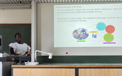
Our visiting scientist Barbara Baidoo presented last week her research in the frame of a seminar series at the Institute of Geography and Geology of the University of Würzburg. The title of her presentation was "An indicator-based assessment of local climate change...

Master Thesis Presentation: Modelling LAI of Alpine Grassland

Master Thesis Presentation: Modelling LAI of Alpine Grassland

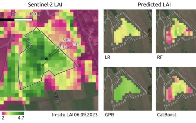
On Tuesday, June 04 , Caroline Göhner will defend her master thesis " Modelling LAI of Alpine Grassland" at 12:00 in seminar room 3, John-Skilton-Str. 4a. From the abstract: Alpine grasslands are crucial ecosystem providers and one of the most threatened terrestrial...

NEW DATE: Internship Report on Tuesday, May 21st at 12:00

NEW DATE: Internship Report on Tuesday, May 21st at 12:00

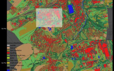
On Tuesday, May 21st, Elly Schmid will present her internship at 12:00 in seminar room 3, John-Skilton-Str. 4a. : From the abstract: The internship was carried out as part of the HEATS-(Urban heat) Project of the Georisks team at the Earth Observation Center, which...

Public relations work of the EORC for climate adaptation

Public relations work of the EORC for climate adaptation

In the week from April 22-28, the municipality of Höchberg in the western district of Würzburg organized a Climate Action Week and dedicated various activities to the question of how climate adaptation can be implemented and lived at the municipal level. As part of...

Expedition to Central Asia in the frame of the FluBig project

Expedition to Central Asia in the frame of the FluBig project

Since a couple of days, a field expedition to the Naryn River in Kyrgyzstan has started in the frame of the "FluBig" project which is dedicated to research on the interaction of hydromorphology and vegetation across multiple scales. The Naryn River is currently still...