MSc thesis handed in on Analysis of Airborne LiDAR Data for Deriving Terrain and Surface Models

MSc thesis handed in on Analysis of Airborne LiDAR Data for Deriving Terrain and Surface Models

May 9, 2016

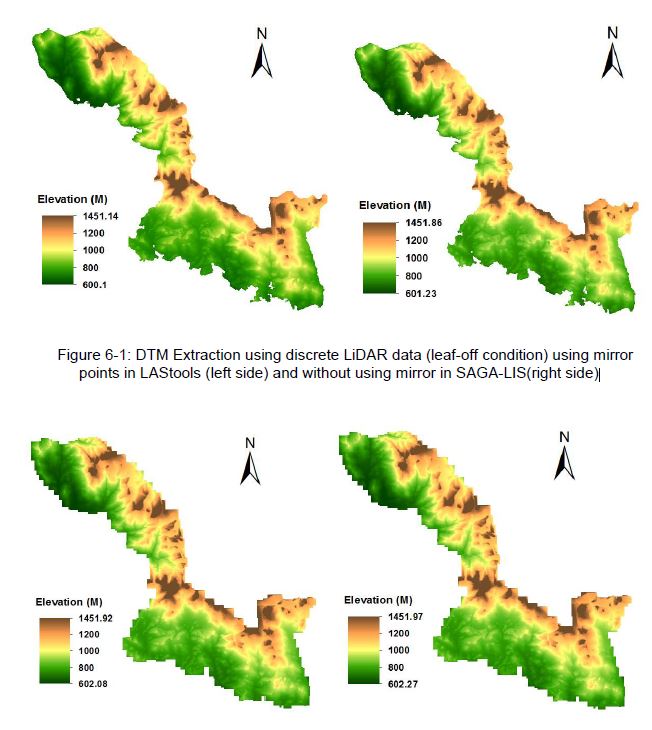
A M.Sc thesis by Raja Ram Aryal  at the University of Applied Sciences Stuttgart was recently written  under the supervision of Dr. Hooman Latifi and Prof. Michael Hahn. The thesis focused on a comparative study on the variations of an adaptive TIN ground filtering algorithm  to extract DTM from discrete LiDAR point cloud captured in leaf-off and full wave LiDAR point cloud collected in leaf-on conditions. In addition Analysis of Variance (ANOVA) type II was used to assess the influential factors that are related to DTM random error.  The Accuracy assessment of extracted DTMs was done  at local and landscape levels in heterogeneous forest stands of Bavarian Forest National Park. The DTM generated using mirror points in leaf-off returned less RMSE (0.844 m) than in leaf-on (0.988 m) conditions. Furthermore RMSE values of 0.916 m (leaf-off) and 1.078 m (leaf-on) were observed the local level analysis when no mirror points were used. However, RMSE value of ca. 0.5 m was observed at the landscape level, with leaf-off DTM showing slightly higher error than leaf-on DTM. The DTM error increased with increasing slope. Deciduous habitat was found to significantly influence DTM error in both leaf-off and leaf-on conditions. Interaction effects were mainly observed between slope and forest habitat type.

DTMs Extracted using denser point cloud LiDAR data (leaf-on condition) using mirror points  (left side) and without using mirror (right side)

DTMs Extracted using denser point cloud LiDAR data (leaf-on condition) using mirror points (left side) and without using mirror (right side)

you may also like:

geodata and mobility presentation at GGW

geodata and mobility presentation at GGW

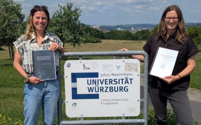
Two of our colleagues will present an insight into their research “Geodaten, Mobilität und soziale Medien – Big Data und die lokale Perspektive der Stadtbevölkerung” at the Geographische Gesellschaft Würzburg on the 13th of May 2024 at 8 p.m.

Presentation by Barbara Baidoo

Presentation by Barbara Baidoo

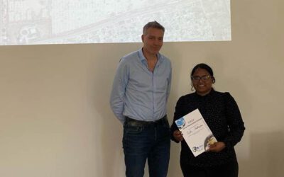
Our visiting scientist Barbara Baidoo presented last week her research in the frame of a seminar series at the Institute of Geography and Geology of the University of Würzburg. The title of her presentation was "An indicator-based assessment of local climate change...

Master Thesis Presentation: Modelling LAI of Alpine Grassland

Master Thesis Presentation: Modelling LAI of Alpine Grassland

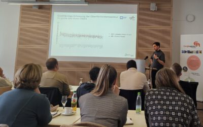
On Tuesday, June 04 , Caroline Göhner will defend her master thesis " Modelling LAI of Alpine Grassland" at 12:00 in seminar room 3, John-Skilton-Str. 4a. From the abstract: Alpine grasslands are crucial ecosystem providers and one of the most threatened terrestrial...

NEW DATE: Internship Report on Tuesday, May 21st at 12:00

NEW DATE: Internship Report on Tuesday, May 21st at 12:00

On Tuesday, May 21st, Elly Schmid will present her internship at 12:00 in seminar room 3, John-Skilton-Str. 4a. : From the abstract: The internship was carried out as part of the HEATS-(Urban heat) Project of the Georisks team at the Earth Observation Center, which...

Public relations work of the EORC for climate adaptation

Public relations work of the EORC for climate adaptation

In the week from April 22-28, the municipality of Höchberg in the western district of Würzburg organized a Climate Action Week and dedicated various activities to the question of how climate adaptation can be implemented and lived at the municipal level. As part of...

Expedition to Central Asia in the frame of the FluBig project

Expedition to Central Asia in the frame of the FluBig project

Since a couple of days, a field expedition to the Naryn River in Kyrgyzstan has started in the frame of the "FluBig" project which is dedicated to research on the interaction of hydromorphology and vegetation across multiple scales. The Naryn River is currently still...