42 young master and PhD students as well as junior university teachers and specialists from government agencies and research institutions participated into the two-week 4th CAWa Summer School “Methods and Tools for the Assessment and Monitoring of Central Asian Water and Land Resources” (June 5-17, 2017) that was hosted by the German-Kazakh University in Almaty, Kazakhstan. Participants came from Kazakhstan, Kyrgyzstan, Tajikistan, Turkmenistan, and Uzbekistan as well as from Afghanistan and Pakistan.
During the first week (June 5-8, 2017), trainers from the Department of Remote Sensing at the University of Würzburg (Lucia Morper-Busch and Dimo Dimov) together with two co-trainers from Uzbekistan (Sherzod Zaitov, SIC ICWC) and Kazakhstan (Almas Kitapbayev, DKU) trained the participants in the use of open-source GIS software (QGIS Desktop-2.18 with Orfeo Toolbox and several plugins) for spatial analyses and in the processing, analyses, and interpretation of satellite images (e.g., raster image analysis and land use classification). Furthermore, they provided an overview of remote sensing applications for water and land resource monitoring and introduced the participants into the online information tool WUEMoCA (Water Use Efficiency Monitor in Central Asia) that is developed at the Department of Remote Sensing in Würzburg together with Central Asian partners.
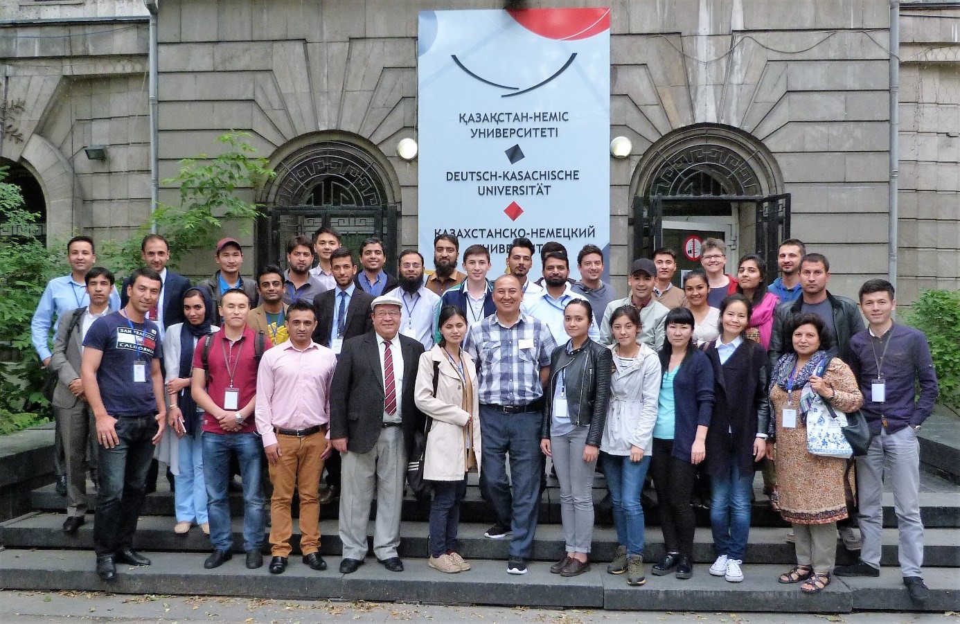
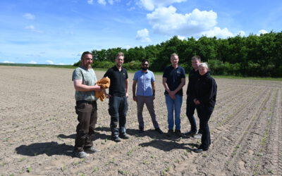
Participants and trainers in the 4th CAWa Summer School (module ‘Introduction to GIS and Remote Sensing’ in the first week of summer school) in front of the German-Kazakh University in Almaty, Kazakhstan.
This year’s CAWa Summer School was already the fourth in a row. It was organized by the CAWa Project (funded by the German Federal Foreign Office; http://www.cawa-project.net) and by the German-Kazakh University in Almaty (Kazakhstan) in cooperation with the Nazarbayev University (Department of Civil Engineering, School of Engineering) in Astana (Kazakhstan) and the Fribourg University (Physical Geography) in Fribourg (Switzerland). Focus was set on innovative methods and tools for the analysis and monitoring of water and land resources in Central Asia that are of great value in integrated water and land resource management. Therefore, theoretical lectures and practical exercises were combined with discussion sessions on the implementation of new methods and instruments for managing the water and land resources. The program included an in-depth introduction to GIS, an overview of remote sensing applications for water and land resource monitoring, an introduction to climatological data analysis, and an introduction to glaciology.