LaVaCCA Introductory GIS / R course in Almaty, Kazakhstan

LaVaCCA Introductory GIS / R course in Almaty, Kazakhstan

April 27, 2015

LaVaCCA_Project_Logo

Logo of the LaVaCCA project

After the kick-off meeting of the Volkswagen Foundation funded LaVaCCA project in Almaty (see post), an intensive R/GIS training was held in the GIS lab of the Al ́Farabi Kazakh National University, organized and led by staffers from the Department of Remote Sensing, Würzburg University. Young scientific staffers, post-docs and PhD students as well as invited guests from SIC-ICWC, Al´Farabi University and CAREC joined the training course from February 12th to 17th 2015.

The focus of the course was on methods and techniques for the application of satellite remote sensing in agricultural management, including the use of the statistical and open source programming language R:


  • Introduction to the statistical software R
  • Spatial statistics in R
  • Working with vector data in R
  • Working with raster data in R
  • Visualizing and manipulating satellite data in R

This course served as a preparatory course for another, intensive training to be held in Urgench, Uzbekistan, in summer 2015. The feedback from the participants for the first course in Almaty was very positive and participants were given the opportunity to propose the topics and schedule of the second course in Urgench, Uzbekistan in summer 2015.

More information on the LaVaCCA project can be found here. Information on the R project for statistical computing, including download links can be found here.

GIS/R_training_LaVaCCA

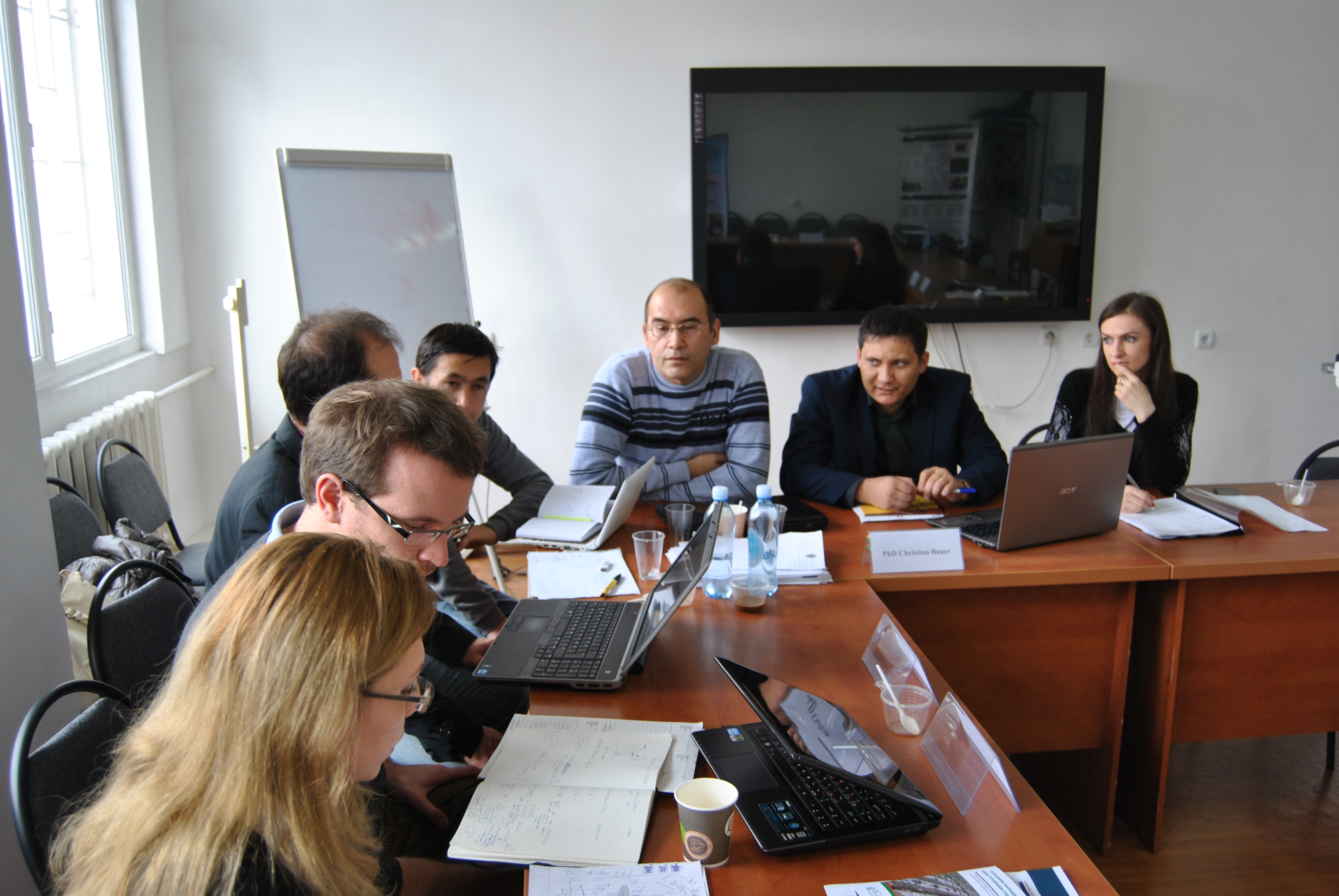
Participants of the LaVaCCA R/GIS course in Almaty, Kazakhstan


follow us and share it on:

you may also like:

EORC at Space Summit Munich

EORC at Space Summit Munich

Yesterday, the space tech incl the remote sensing community gathered in the historic halls of Neues Rathaus München for the annual Space Summit Munich - an event that brought together scientists, industry leaders, and policymakers to discuss the future of Earth...

Empowering Biology Students with Open-Source Spatial Data Skills

Empowering Biology Students with Open-Source Spatial Data Skills

At EORC, we believe that spatial thinking and geodata literacy are becoming essential skills across scientific disciplines. This semester, we had the pleasure of contributing to the Biology MSc programs MERGE and other study tracks at the Biology Institute through a...

EAGLE M.Sc. Students doing Arctic Internship

EAGLE M.Sc. Students doing Arctic Internship

This spring, Marlene and Aoibhin, two students from our EAGLE M.Sc. program have started their research internship in the high Arctic on Svalbard. Hosted by Prof. Larissa Beumer at the University Centre in Svalbard (UNIS), the students are gaining hands-on experience...

EORC at the Smart Forest Conference: Research meets Practive

EORC at the Smart Forest Conference: Research meets Practive

This week, our EO4CAM staff Sonja and Julian attended the Smart Forest Conference in Freising, a meeting that brings together researchers, forestry practitioners, and technology developers working at the interface of forest science and digital innovation. Over two...

EO4CAM Data Portal Launched to Support Climate Adaptation in Bavaria

EO4CAM Data Portal Launched to Support Climate Adaptation in Bavaria

New Earth observation platform provides satellite-based information for public authorities and planners A new Earth observation data portal is bringing satellite-derived environmental information closer to climate adaptation planning. On 9 March 2026, the EO4CAM data...

Share This