Impressions from 5th joint biometry workshop in Würzburg

Impressions from 5th joint biometry workshop in Würzburg

October 13, 2015

Dept. of Remote Sensing recently hosted the 5th joint workshop of the working groups “Ecology and Environment“, “Bayes Methods” and “Spatial Statistics” of the German Region of the International Biometric Society and the Forest Biometrics unit of the German Association of Forest Research Stations (DVFFA), which was held in Z6 building of Hubland Campus from october 7th to 9th 2015.

DSC00109 DSC00113 DSC00115 DSC00119

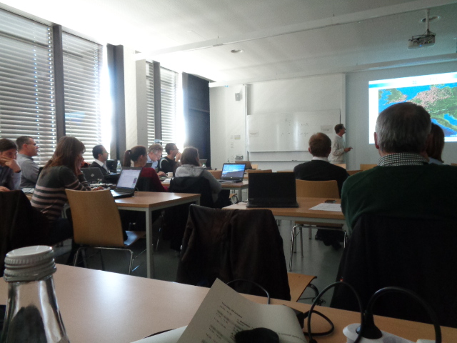
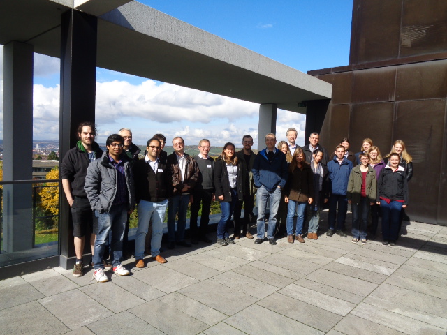
The workshop provided a substantial platform for 26 international researchers and practitioners to establish new contacts, strengthen their existing ties and have fruitful exchanges in spatial statistics and its application in different disciplines including ecology, remote sensing, forest biometry, agriculture, epidemiology and medicine. There have been totally 7 presentations held by various participants, followed by in-depth discussions. In addition, the participants enjoyed the intensive and comprehensive tutorials given by Lauri Mehtätalo on “Mixed-Effects models in Theory and Pracice”, followed by R training sessions and trouble shooting.

We look forward to our continued joint activities with IBS-DR working groups and DVFFA. The next planned event organised by the working group “Ecology and Environment” and the DVFFA will be a statistical session at the German Forest Science Conference (FoWiTa 2016) in Freiburg from 26th to 29th of September 2016.

follow us and share it on:

you may also like:

Starkregen in Bayern: Beobachtungen und Dokumentation zählen

Starkregen in Bayern: Beobachtungen und Dokumentation zählen

Starkregenereignisse treten immer häufiger lokal, kurzfristig und mit hoher Intensität auf. Innerhalb weniger Stunden können sie erhebliche Überschwemmungen und Schäden verursachen. Um solche Ereignisse künftig besser zu verstehen und die wissenschaftliche Grundlage...

Seeing the World in Points: Lidar Course for the EAGLEs

Seeing the World in Points: Lidar Course for the EAGLEs

Lidar has a funny way of sneaking up on you. You think you know what it is, a laser that measures distance, fine, but then someone shows you a point cloud of a forest canopy with individual branches floating in 3D space and suddenly you realize there's a whole...

RTL covers EORC: TV Crew Films MONID Habitrack Fieldwork

RTL covers EORC: TV Crew Films MONID Habitrack Fieldwork

A bit of extra excitement at EORC recently, an RTL television crew showed up to film a segment on the MONID Habitrack project, and Dr. Ariane Droin was right in the middle of it, walking them through what Earth Observation actually brings to the table for a project...

Ticks from Above: UAS Fieldwork for the MONID Habitrack Project

Ticks from Above: UAS Fieldwork for the MONID Habitrack Project

Forest edges are tricky places. They're where woodland meets open ground, where light and shade trade off every few meters, and where, it turns out, ticks tend to do really well. That last bit is exactly why Dr. Ariane Droin, Sofica Garcia de Leon, Dr. Jakob...

Course on urban EO by Michael Wurm

Course on urban EO by Michael Wurm

Walk through any city and you pick up on things that are hard to put a number on. The noise of a main road, the heat that sits between buildings in summer, the question of whether that little park around the corner is really enough green space for the whole...

EireR R package: unified gateway to Irish geospatial data

EireR R package: unified gateway to Irish geospatial data

Anyone who's tried to do geospatial work across the whole island of Ireland knows the headache. Ireland is one island geographically, but it's split across two jurisdictions, the Republic and Northern Ireland, and each one runs its own data infrastructure. Different...

Share This