final electronic version of our book

final electronic version of our book

October 26, 2015

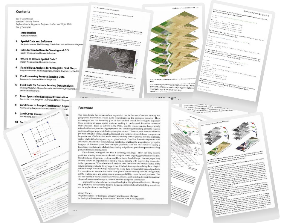
remote_sensing_GIS_ecology_open_source_Wegmann_Leutner_Dech_Oct2015We received the final electronic proof of our book “Remote Sensing and GIS for Ecologists – Using Open Source software“. The printed versions of our book should be available soon and we are very much looking forward to it.

The publisher is still offering 20% discount on pre-orders – order our book right now on www.pelagicpublishing.com using the discount code: RSGE20.
We are also thankful to Woody Turner for his fantastic foreword:

“.….With this book, Wegmann, Leutner, and Dech […] cleverly couple an exploration of satellite remote sensing with step-by-step immersion in the open source GIS and statistical analysis tools that allow one to make sense of the remote sensing products. In my experience, this book is unique in walking the ecological reader through the actual steps necessary to create their own remotely sensed products. It is more than an introduction to the principles of remote sensing and GIS. It is guide to get the reader going, and using remote sensing and GIS to create focused products. The text also helpfully rp_book_remote_sensing_gis_ecologists_wegmann_leutner_dech-202x300.pngpoints to selected websites, articles, and books for deeper informational dives and recommends ways to connect with the geospatial community. I applaud the authors for advancing all ecological disciplines with this text. Through this guidebook, they open the doors to the geospatial revolution that is taking our science and its applications to new heights.

Woody Turner
Program Scientist for Biological Diversity and Program Manager
for Ecological Forecasting, Earth Science Division, NASA Headquarters

you may also like:

Course on Object-based image analysis

Course on Object-based image analysis

Dr. Michael Wurm from the German Aerospace Center (DLR) gave a class about Object-based image analysis (OBIA) using the eCognition Software for the EAGLE students. The course gives an insight into the theoretical basis of OBIA and using different datasets and tasks...

PhD defense by Thilo Erbertseder

PhD defense by Thilo Erbertseder

Thilo Erbertseder will defend his PhD thesis "Satellite-based analysis of NO2 air pollution: from global to urban aspect" on Wednesday 23rd of July at 3pm in John-Skilton Str. 4a, seminar room 1. All interested staff, students, family and friends are cordially invited...

upcoming PhD defense by Adomas Liepa

upcoming PhD defense by Adomas Liepa

Our PhD student Adomas Liepa will defend his Phd "Potential of Satellite Earth Observation in seasonal monitoring of complex agricultural environments of East Africa" on Thursday 24th of July at 11am. The defense will take place at John Skilton Str. 4a, seminarroom 1....

DLR supports Zeit Magazine with Land Surface Temperature data

DLR supports Zeit Magazine with Land Surface Temperature data

Our colleagues from DLR provided long-term Land Surface Temperature (LST) data for an interactive tool in the Zeit Magazine which was recently published online https://www.zeit.de/zeit-magazin/2025-06/stadtteile-grossstaedte-wohnen-deutschland-lebensqualitaet The tool...

Special Issue related to JURSE – Call for Papers

Special Issue related to JURSE – Call for Papers

In the course of the Joint Urban Remote Sensing Event (JURSE), which took place in Tunis, Tunisia, at the beginning of May this year, there is again a special issue related to JURSE and beyond. The Call for Papers has just been published in the IEEE Journal of...