EAGLE students back to their second semester

EAGLE students back to their second semester

April 20, 2017

After the semester holidays, we welcome our EAGLE students back to their second semester!

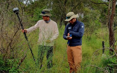
Some of them already took the chance to take part in a short course on landscape ecology for wetland monitoring and management with QGIS given by the ERASMUS lecturer Dr. Aurelie Davranche (more) the last two days.
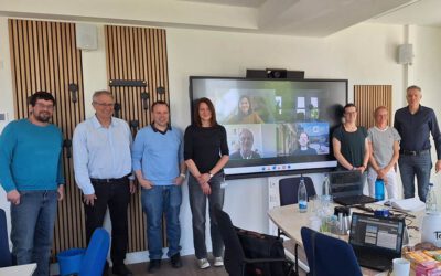
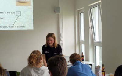
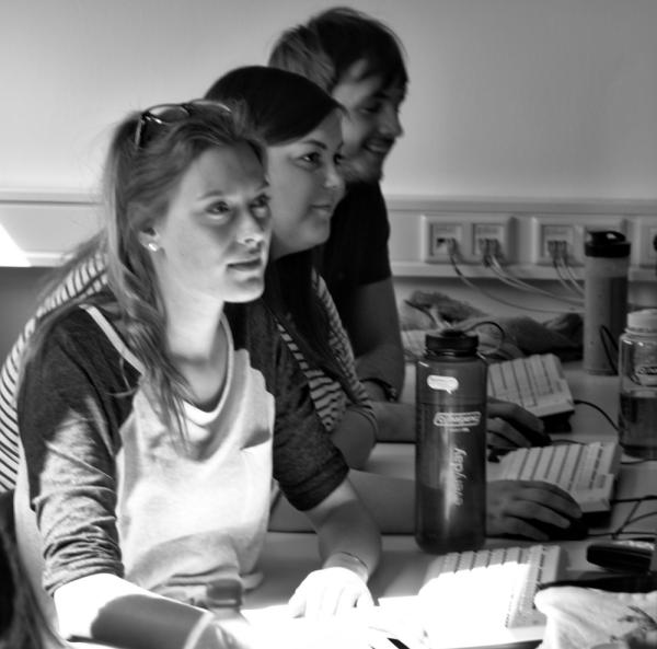
Today, the course   “Advanced spatial analysis for geoscientists – object-oriented image analysis” started. It is a hands-on-data-seminar jointly given by our colleagues Dr. Michael Thiel, who will teach eCognition during the summer term, and Dr. Christian Geiss who will be at our department until the end of the week. Christian is an invited guest lecturer from DLR’s Remote Sensing Data Center (Department: Geo-Risks and Civil Security) and he is working on mapping and characterization of urban areas with respect to risk and vulnerability assessment. If you want to learn more about Christian’s Team click here.

We wish all students and lecturers interesting seminars (full list) and a successfull summer term!

follow us and share it on:

you may also like:

Remote sensing insights into biogas flowering mixtures

Remote sensing insights into biogas flowering mixtures

Perennial wildflower mixtures are gaining importance as an alternative to maize in biogas production. As highlighted in the praxis-agrar article on crop diversification with biogas flowering mixtures, they combine agricultural use with clear ecological benefits....

PhD submitted by Julia Rieder

PhD submitted by Julia Rieder

We are pleased to share that our PhD student Julia Rieder has successfully submitted her doctoral thesis! Her dissertation, entitled “Abiotic and biotic drivers of drought responses in European beech (Fagus sylvatica L.) inferred from field and LiDAR data”,...

New Funded Project on Automated Detection of Mining Areas

New Funded Project on Automated Detection of Mining Areas

In a newly launched research project funded by the KSB Foundation, we focus on the automated identification of mining areas based on remote sensing data. The aim is to systematically detect large-scale mining activities and to track their spatial and temporal...

Share This