CODE-DE – Satellite data free of charge for everyone

CODE-DE – Satellite data free of charge for everyone

March 27, 2017

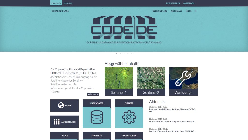
Our colleagues at DLR released a platform which allows easy and free of charge access to Sentinel remote sensing data:

CODE-DE makes possible free-of-charge, simple access to data from the Sentinel satellites and to information products from the European Copernicus programme–including an up-to-date cloud-free mosaic of Germany, produced at EOC. The platform will also provide access to national geodata infrastructure (GDI-DE). This portal provides harmonised and standardised German geodata from a wide variety of sources. By agreement with industrial partners it is also planned to offer data from the German radar satellites TerraSAR-X and TanDEM-X as well as high-resolution optical images from RapidEye satellites.

CODE-DE offers a one-stop shop. The data is collected in a single portal so that users no longer have to search through various databases, as formerly. This gives them direct access to an enormous amount of data—the Sentinel satellites alone will produce a data volume of some 50 petabytes by the end of 2020.


read more: http://www.dlr.de/eoc/en/desktopdefault.aspx/tabid-11932/20674_read-48811/


you may also like:

EORC and EAGLE summer BBQ

EORC and EAGLE summer BBQ

We’re happy to announce that our summer BBQ is happening again on Thursday, July 24th at 4pm! Alongside good food and a relaxed atmosphere, we’re also hosting a series of short talks highlighting exciting topics in Earth Observation and environmental science: “The...

🗺 Exploring Map Visualizations

🗺 Exploring Map Visualizations

Within our EAGLE courses our students have to learn a wide variety of skills - beside the fundamental earth observation theory and practice also skills like map creation is part of the curriculum. One of our students Ronja Seitz has created three visualizations guides...

Successful Completion of UNIversInternational Certificate

Successful Completion of UNIversInternational Certificate

In line with its internationalization strategy, the University of Würzburg supports administrative staff in their task of advising and supporting international students, guests, and academics. To this end, it has launched the "UNIversInternational" certificate...

The “Geolingual Studies” team visited the DLR EOC

The “Geolingual Studies” team visited the DLR EOC

The "Geolingual Studies" team of the University Würzburg visited the DLR-EOC on 3 and 4 July 2025. Geolingual Studies is an innovative area of research and teaching which takes a decisively applied linguistic approach and combines methodologies from linguistics,...

Course on Object-based image analysis

Course on Object-based image analysis

Dr. Michael Wurm from the German Aerospace Center (DLR) gave a class about Object-based image analysis (OBIA) using the eCognition Software for the EAGLE students. The course gives an insight into the theoretical basis of OBIA and using different datasets and tasks...