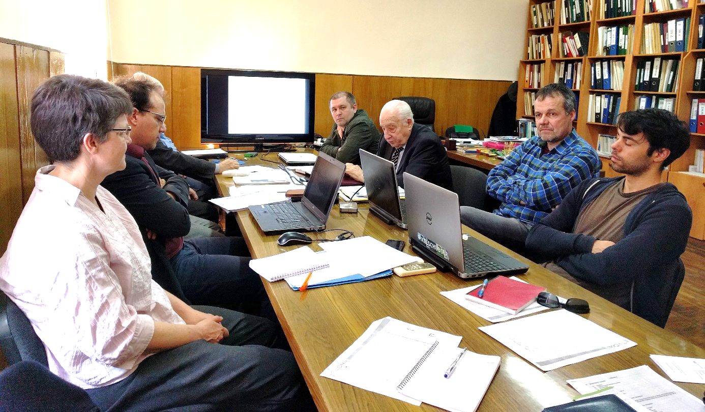
CAWa project meeting at SIC ICWC in Tashkent
Within the CAWa project, the Department of Remote Sensing at the University of Würzburg (Germany) and the Scientific Information Center of the Interstate Coordination Water Commission (SIC ICWC) in Tashkent (Uzbekistan) held a meeting on ‘Validation Strategy for land use classification’. This meeting was organized within the Work package III: “Online Tool for Monitoring of Land and Water Use Efficiency” on 27th February – 1st March 2018 at SIC ICWC.
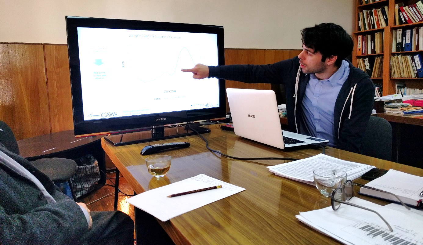
Introduction into validation framework
The main objectives of the meeting were the following:
- Presentation of the improved MODIS classification validation framework and upcoming sampling strategy for 2018-2019
- Concept of the planned crop classification using Landsat crop classification scheme and quality assessment
- Provision of correct up-to-date administrative boundaries of most of the countries covering the irrigated area within the Aral Sea Basin. These boundaries are used within the online tool WUEMoCA (“Water Use Efficiency Monitor in Central Asia”) to provide aggregated information on land use, productivity and water use efficiency indicators.
- Presentation of a new interactive ‘Productivity Calculation Tool’ within WUEMoCA to calculate indicators based on both, remote sensing analysis results incl. yield and evapotranspiration, as well as statistical data, entered by users. Thus users are now enabled to add missing or, where appropriate, more accurate values to the system like crop prices, water delivery amounts, and crop specific water rates in order to assess the productivity of the water used (“crop per drop”) e.g. within a certain district or Water User Association over several years.
- Setting up the roadmap for the final project phase 2018-2019 with the focus on
- improvement and adjustment of previous achievements, i.e. the utilization of optical MODIS data for the monitoring of irrigated land use and yield estimation with the objective of estimating the productivity of irrigated agriculture and comparing the performance of irrigation systems, and
- dissemination, i.e. to bring the results and the knowhow into the region and to improve the user friendliness of the online tool WUEMoCA under consideration of specific use cases of the water management
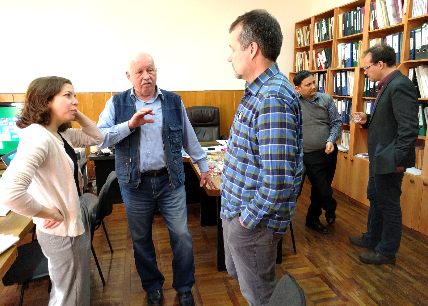
Lively discussions between German and Uzbek scientists