Our article in MEE got accepted “r.pi: a GRASS GIS package for semi-automatic spatial pattern analysis of remotely sensed land cover data” by Martin Wegmann, Benjamin Leutner, Markus Metz, Markus Neteler, Stefan Dech, Stefan and Duccio Rocchini. It outlines the capabilities of the r.pi package to analyze spatial patterns derived from remote sensing land cover data to inform about landscape conditions and changes. Such fragmentation measures are relevant for ecology or conservation as well as for remote sensing to produce value-added landcover maps that provide details on the spatial structure of the landscape.
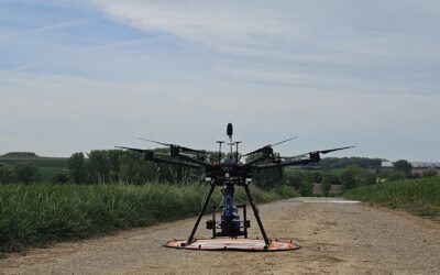
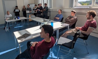
Advancing Agriculture with UAS Multi-Sensor Research
Understanding how agriculture can adapt to a changing climate is one of the key challenges of our time. At EORC, we are pleased to share that our researchers are currently collaborating with the Bavarian State Research Center for Agriculture (LfL) on an innovative...