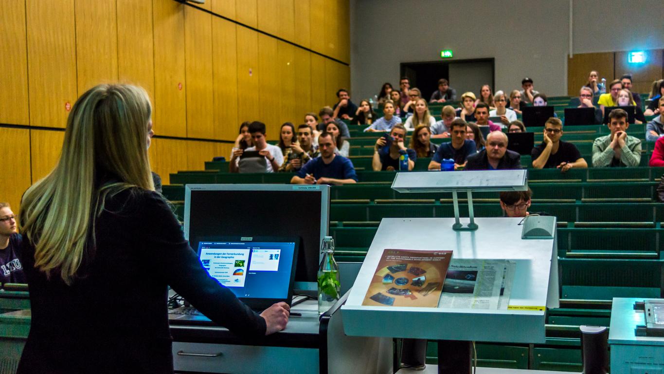
 Last Monday, I opened the summer term 2018 starting with a lecture on „Applications of geographical Remote Sensing“ within the bachelor study program. After having learned about the basic principles of optical, thermal and radar remote sensing as well as platforms and orbits, sensors and bio- / geo-physical parameters last winter, the focus of this lectures is the joint analysis of GIS and Earth Observation for geographical topics. One of the basic questions, Christian Hüttich and me aim to answer during the next weeks is how to gain geoinformation from EO data.
In the first lecture, I showed why we need geodata by talking about the United Nations (UN) Sustainable Development Goals (SDG), their indicators and the Copernicus Programme.
While preparing for the lecture, I found great material supporting the topics. Here is my list of thought-through and helpful online resources and communications material, which I’d like to share with you:
UN SDG
- Ban Ki‑moon’s talk announcing the agreement on the UN SDG
- Overview of the 17 goals including detailed information on progress, targets and indicators
- Download link of SDG logo and 17 icons
- homepage on SDG and indicators provided by the German Federal Statistical Office
SDG and EO
- CEOS Earth Observation Handbook „SATELLITE EARTH OBSERVATIONS IN SUPPORT OF THE SUSTAINABLE DEVELOPMENT GOALS“ (i.e. chapter 3.2 How satellite data can help and figure 1 information system) including a database of EO missions, instruments and measurements
- Paper: Anderson, Katherine; Ryan, Barbara; Sonntag, William; Kavvada, Argyro; Friedl, Lawrence (2017): Earth observation in service of the 2030 Agenda for Sustainable Development. In: Geo-spatial Information Science 20 (2), S. 77–96. DOI: 10.1080/10095020.2017.1333230
Copernicus Information Material
- “What is the Copernicus Programme?” (video) and brochure provided by Copernicus EU and available in different languages
- Fact sheets on the six Copernicus Services
- Sentinel satellites missions overviews and applications with examples for each Copernicus service
- Updates on Twitter: @CopernicusEU, @CopernicusEMS, @CopernicusECMWF, @CMEMS_EU and @CopernicusLand


